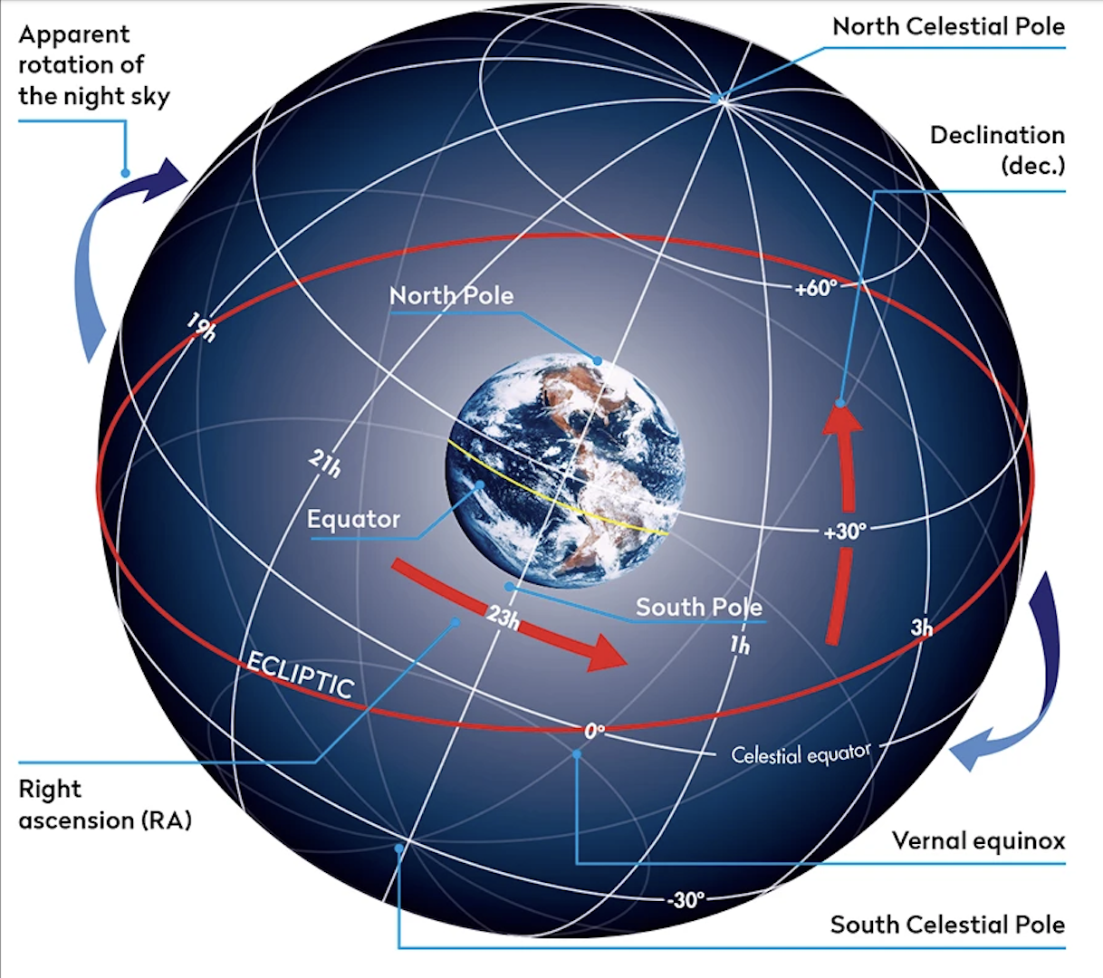

Equatorial coordinates
They are a coordinate system that is used to determine the position of a star in the sky. Its main components are the decline and the right ascension, widely used in professional and amateur astronomy to quickly locate celestial objects.
Equatorial coordinates are not linked to the geographic location of the observer, as is the case with horizontal coordinates. This is because the declination and right ascension have the celestial vault as a reference, where the references of the vernal equinox and the celestial equator do not vary, regardless of the location. geographical.
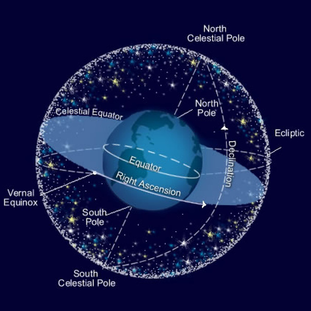
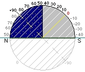
Declension (Dec)
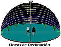
It is the angular distance formed by a star with the celestial equator; it can be said that it is analogous to the geographic latitude. They are lines parallel to the equator, which are measured in degrees (º), minutes (') and seconds (») of arc. The celestial equator corresponds to a declination of 0º, the North celestial pole of +90º and the South celestial pole of -90º (note that the declinations for the Northern hemisphere are positive and those for the Southern hemisphere are negative).
Right Ascension (RA)
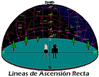
It is the angle, measured on the celestial equator, between the Vernal Point and the meridian that passes through the observed object; It can be said that it is analogous to geographical longitude. They are lines perpendicular to the Equator, which are measured in Hours (h), Minutes (m) and Seconds (s) of sidereal time. The count begins from the Vernal Point (0h) towards the East, until completing 24h.

As can be deduced from the graphs shown below, by imaginatively capturing the equatorial coordinates in the sky (for example, on a star chart with the assistance of planetarium software), the lines of declination would be comparable to lines of geographical latitude; instead, the lines of right ascension would be comparable to geographic longitude: